
In early January Lauren came home from school sporting a note informing me that she had to make a relief map of Utah, which counted for 100 points of her social studies grade and was due January 21, 2011.
Now for those of you unfamiliar with a relief map, think 3-D. You know mountains, valleys, rivers, lakes etc. This map was to be made out of salt dough.
I have to admit the first question I asked was "Whose is being punished here? Her or me???!!!" In the interest of fairness and not wanting to hog all the homework fun, I enlisted Rick's help.
 We began by making our salt dough.
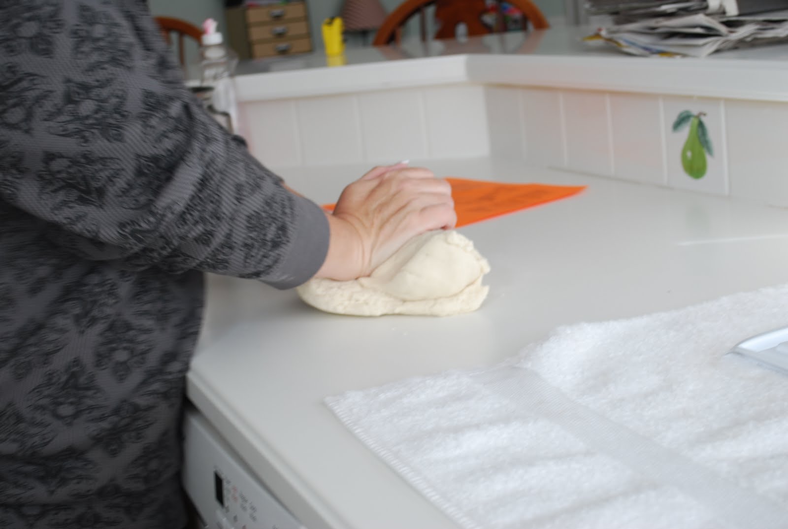 Got to kneed that dough.
 Now here is where it is good to have a smart daddy. Rick suggested that he go get a topographical map of Utah, and we press the salt dough into the map, to form all the mountains, valleys, rivers and lakes.
 Look how great that looks?!!
 It popped out nicely as you can see.
 Then it was on to painting the map, rivers and lakes included.
 Finished product, including labels for 35 sites on the map, per the instructions from the teacher.
Glad the project is done, but let's just be clear here....as far as I am concerned the state of Utah begins at the Idaho/Utah border, runs to the southern city limits of Provo, and is about 40 miles wide. The only sights that need to be marked on the map are the locations of the Macy's along with a rating about the quality of the store. I am just sayin......., you will not catch me in the Unita mountains anytime soon.


4 comments:
Holy cow! That's awesome! See that's the problem though... as long as kids keep making such cool maps, the teacher will continue to assign massive projects like that! Ugh for all involved, but it really did turn out cool!
You probably wrecked the curve for the rest of the class. Kevin used to do that for our kids too. Egyptian pyramids--his specialty.
as for the Unintas, is Darren a camper? ha I hope so. I could use a good laugh.
Brilliant idea getting Rick to help. Brilliant idea using the imprint of another map. Yes, you probably raised the bar on mountain maps
Yes.....Darrin is a camper. He is one of those sicko's who acutally likes the calling of Scout Master.
Believe me the irony of this is NOT lost on me......
Post a Comment